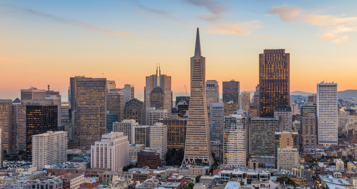
Beautiful view of business center in downtown San Francisco at sunset. (Photo: f11photo/Shutterstock)
False Advertising: NYC High Line vs. SF Great Highway
A ballot measure’s proponents make false comparison
By Richie Greenberg, October 7, 2024 2:45 am
Walking westward from my midtown Manhattan hotel, I arrived at my intended destination: a bustling street corner filled with traffic: cars, delivery vans, taxis, bicycles, scooters, a few skateboarders. I watched as the traffic light cycled through several cycles, traffic and street crossers alternating their turn. This is a vibrant part of town, an urban intersection alive and in motion.
It was a picture-perfect New York City day, a mid 70-degree afternoon, great for people watching. From my position at this corner of 10th Avenue near 28th Street, I could see up the canyons of skyscrapers to one direction, and to the west, a few buildings across the river in New Jersey. But one thing I did not feel nor see was the warmth and brightness of the sun’s rays. In fact, there was no sun at all. That’s because I was at the famous High Line.
Above the cacophony of New York City’s street-level traffic are the remnants of an elevated (and long-defunct) railway. First opened in 1934, it served Manhattan’s west side factories and warehouses. Falling into disuse, the final train rumbled overhead in 1980 and was then abandoned, falling into disrepair. At almost 1.5 miles long, it would’ve been subsequently torn down at some point. But wealthy visionaries and historians lobbied to save the elevated railway’s structure and ultimately repurposed it for pedestrians to walk on as an urban pathway and gardens. This is the High Line today, a repurposed elevated walkway opened in three phases between 2009 and 2019.
From my vantage point on the ground though, all I could see was the under-skeleton grid and girder latticework overhead. Across the street were stairs for those wishing to ascend to the pathway above to actually walk on the High Line. Elevators were nearby as well.
Back home in San Francisco, there is a curious ballot measure this November for voters’ consideration, designated Proposition “K”. It’s become quite a contentious fight between neighborhoods and activists across the city. The purpose of Prop K is to permanently shut a 2-mile section of our city’s main west side express thoroughfare to private cars, specifically between Lincoln Way and Sloat Boulevard. As election day draws ever closer, community organizations, political clubs, even some local newspapers have opined and endorsed either yes or no on this Prop K. Interestingly, though, we’re seeing several of the pro-Prop K crowd make comparison and rationale for passage of Prop K, claiming our Upper Great Highway closure would be equivalent to creating our version of Manhattan’s High Line.
My witnessing of both the High Line and the San Francisco Upper Great Highway first hand, taking video and photos as well, tell an undeniable truth: that there is no credible association to be made.
When not obscured by cloud cover (read: fog), the Upper Great Highway, or UGH, basks under the vast blue sky and sun of our coast, and the expanse of beach mere feet to the west. It’s basically a beachside roadway, an essential one at that, linking key west side neighborhoods of San Francisco. The northernmost end of the UGH connects to world-famous Golden Gate Park. The southern end accesses the San Francisco Zoo. And two well-maintained, paved public-use pathways parallel most if not all of the UGH, one path on the west of the UGH and one on the east, referred to as Multi-Purpose Paths.
The UGH today is a recreation and transportation dream: Paved roads for vehicles (two northbound and two southbound lanes) supporting commuters, commercial vehicles, tourists, students, and for leisurely coastal drives. Then there’s the parallel, dedicated and protected routes for pedestrians, cyclists, dog walkers, rollerbladers and runners immediately adjacent. People of all ages and abilities, if not in a vehicle, use these UGH’s multi-purpose paths daily.
It is important to note: the UGH’s western side pathway is a very well-constructed and maintained structure which was completed and dedicated in 1989, funded by the City & County of San Francisco. Referred to as “Great Highway Seawall Promenade,” there is a large medallion plaque, approximately 6 feet in diameter, embedded in the promenade’s walkway, located midway between Noriega and Pacheco St.
To try to establish an equivalency between the High Line and the UGH is, frankly, bizarre. Yet, Prop K supporters do try. Each is clearly different- in origin, in construction, in functional use, in physical location, and now, in today’s usefulness and status. Apples and oranges, indeed.
Proponents which support the permanent UGH closure assert stopping of private vehicles from using the UGH’s 2-mile stretch will allow the UGH to be repurposed as an oceanfront promenade. But there already exists such a promenade, as explained above. Construction was officially completed and opening dedicated with the medallion in 1989. So, for 35 years now, a promenade has been in use nestled between the beach and vegetation-covered strip of dunes separating the promenade from the UGH south-bound roadway. The same proponents claim benches would be placed on the UGH should Prop K pass this November. But the existing Promenade already has numerous benches.
On my return flight home to San Francisco, where I reside in proximity to, and frequently use, the Great Highway, I reflected on this current, bizarre fight for closure of our all-important travel corridor, with Prop K. The arguments presented for closure are truly bizarre. UGH is no High Line. Not even close.
Right now, below Manhattan’s High Line we see a high volume of movement and traffic: cars, delivery trucks, pedestrians and cyclists traversing and traveling on roads underneath it, at ground level. The High Line’s initial function in 1934 and the more recent repurposing does not cause a disturbance to and permanent rerouting of traffic directly below. This is key: the vertical environment of the High Line’s allows for both pedestrians and vehicular traffic to coexist; one path of travel does not impede the other. In contrast, though, this November’s Prop K ballot measure for the UGH permanently stops current and necessary coexistence. Right now, the western and eastern dedicated pathways parallel to the UGH allow for coexistence (and safety) for vehicles on the paved roadway, with walking, jogging, dog walkers, rollerblading and more, on the existing multi-purpose paths.
Questions ultimately arise: 1) Why do Prop K proponents desire to stop a current and necessary co-existence of the many modes of transportation on the UGH? 2) Why is there little to no mention, by civic leaders and elected officials, of the existing Great Highway Promenade and its beachfront walkway, completed and in use since 1989? 3) Why is Manhattan’s High Line even mentioned in the UGH Prop K closure debate?
San Francisco’s residents, business owners and tourists alike want to know.
- Gavin, Meet Harmeet Dhillon, Again - December 11, 2024
- BREAKING: Recall Launched Targeting SF Supervisor Engardio - December 3, 2024
- Greenberg: Good Riddance to Controversy and Betrayal - December 3, 2024


The people behind this are the usual suspects. Most dont even live in the Sunset. The main guy behind this who actually does live in the Sunset is a recent arrival in SF, a (very) junior lawyer who works for Google down in Mountain View, has only lived in the Sunset a very short amount of time, and is one of the Critical Mass a.k.a Bicycle Coalition bike cranks.
A bunch of hipster types started moving to the Outer Sunset about 15 years ago after being priced out of places like NOPA. The Sunset original was a very middle class / blue collar area and is now majority Chinese/ Asian. Who unlike Sf white progressive/hipsters make great neighbors. Apart from around Judah / Great Highway the Outer Sunset pretty much a hipster free area. Overwhelming ordinary working folk.
As for the “park” idea. It is beyond stupid. Not even because it would replace a major arterial road vital to that part of SF. That part of Ocean Beach most years during the Dry Season is fogged in most days. Some years, maybe 2 in 10, you might get less fog. A week or so of clear weather until the fog returns. But April till October. Its mostly fog. And when not fogged in there is a bitterly cold wind. Air temp mid 60’s, wind-chill maybe high 40’s. In April, July or September. There is a very good reason why all the locals wear layers. Only tourists wear t-shirts in the “summer” in the Ocean Beach area.
And the rest of the year is the Rainy Season. Far less fog, but the bitter winds are even colder. There are maybe 5 or 10 days a year when you can sit on Ocean Beach in any comfort without quickly developing hypothermia. I do remember one day when it was actually hot at Ocean Beach. In 2012 I think. In February. When it was in the 80’s. But that was pretty much the only day in the last four or so decades I can remember.
Then there is the fact that the “park” will be very quickly covered by drifting sand dunes. The Great Highway was built to stabilize the dunes, act as a barrier, and to stop the regular flooding of the first one or two streets bordering the dunes.
But hey, when did the bike cranks ever give a damn about ordinary people.